


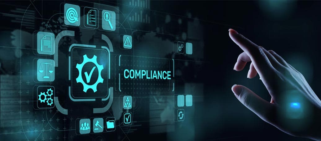
Photogrammetry and remote sensing technology has been widely used in surveying and mapping, agriculture, forestry, water conservancy, meteorology, resources and environment, urban construction, Marine, disaster prevention and mitigation and other fields. CTI provides various types of space remote sensing, aviation remote sensing and ground remote sensing services, including visible light remote sensing, infrared remote sensing, microwave remote sensing, and multi-band remote sensing.
About CTI
Centre Testing International Group Co., Ltd. (CTI) is the pioneer and leader in the TIC Industry which provides one-stop solutions on testing, inspection, certification, calibration, audit, training & technical services. CTI is committed to deliver trust between Government, enterprise and customers.
-
 Overview
Centre Testing International Group Co., Ltd. (CTI) is a market leader in testing, inspection, certification, calibration, audit, training & technical services; building trust between governments, enterprises, and consumers.
-
 Sustainability
Sustainability is deeply rooted in CTIЁЏs business model, by delivering science-based solutions and verification services, to increase transparency and traceability throughout the global value chain. CTI is a proponent of carbon neutrality and sustainable development.
-
 Our service
Centre Testing International Co., Ltd. (CTI) is the pioneer and leader in the TIC Industry which provides one-stop solutions on testing, inspection, certification, calibration, audit, training & technical services.
-
By Industry
Our service capabilties cover the upstream and downstream of the supply chain including textile and apparel,toys,electronic appliances,medical health,food...andother industries.
-
 Environment
-
 Raw Material & Fuel Chemicals
-
 Textiles, Apparel, Footwear & Accessories
-
 Food & Agricultural Products
-
 Cosmetics, Personal Care & Household Chemicals
-
 Building Materials&Construction Engineering
-
 Electronic & Electrical Appliances
-
 Toys, Furniture & Home Decoration
-
 Industrial Equipment & Manufacturing
-
 Rail & Aviation
-
 Automotive & Spare Parts
-
 Pharma and Medical Services
-
 Maritime Vessel Compliance Testing
 By Industry
Our service capabilties cover the upstream and downstream of the supply chain including textile and apparel,toys,electronic appliances,medical health,food...andother industries.
-
-
 Specialty
Comprehensively guarantee quality and safety, promote compliance and innovation, demonstrate brand competitiveness, and achieve higher quality, healthier, safer, and greener sustainable development.
-
 Management
We have established a clear governance structure in accordance with listing requirements and national regulations and policies to deal with internal and external challenges and achieve sustainable development.
-
 Information DisclosureWe are committed to establishing normal and effective two-way communication with shareholders and investors. We have established a complete information disclosure mechanism to convey information to shareholders in a timely manner.
-
 Talents Policy
Ensuring the basic rights and benefits of employees;
Providing professional skills training to promote employeesЁЏ growth;
Carrying out various kinds of activities to balance employeesЁЏ work and life.
-
 RecruitmentWelcome to join CTI family! We are providing a platform for you to show your talents and achieve your career aspiration.
Home > About CTI > аХЯЂСаБэ > > News Detail
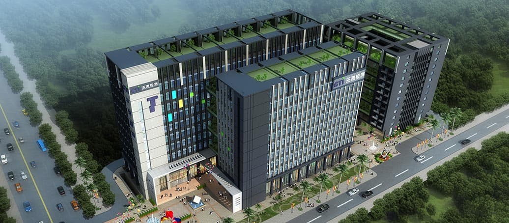
Photogrammetry and Remote Sensing
2021-02-03
548
Related recommendations
Media Inquiries
- 400-6788-333
- mkd@cti-cert.com
CTI is Always by Your Side
-
 Youtube
 -
 LinkedIn
Integrity statement | Privacy Policy | Global service network | Complain/Report | Website map | General Terms and Conditions Copyright Centre Testing International All rights reserved
дСICPБИ10021358КХ  дСЙЋЭјАВБИ 44030602000441КХ
- About CTI
- Our Services
- Investor Relations
- CTI Mall
-
Resource Center
- Application Forms
- Bulletin
- Training Center
- CTI Academy
- Reports Validation
-
Join Us
- Talents Policy
- Recruitment
- info@cti-cert.com
- Inspection
-

- ЕуЛїЪеВи
- TOP